
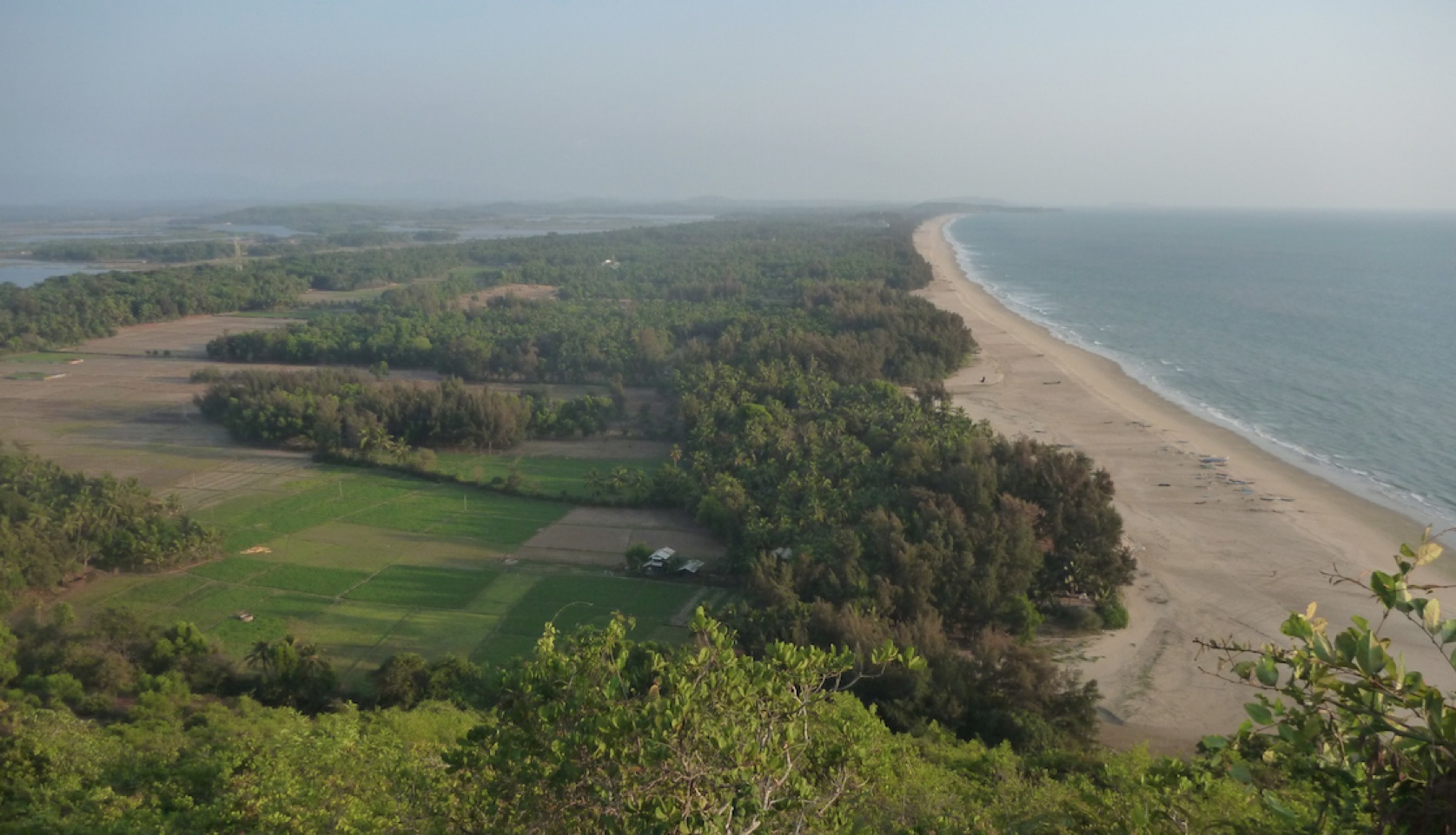
An institution rooted in one landscape — and attentive to the systems that connect it to the wider world.
Field-rooted since 2015, at the Aghanashini Estuary and Kagal village, Kumta taluk.
02The Aghanashini Estuary
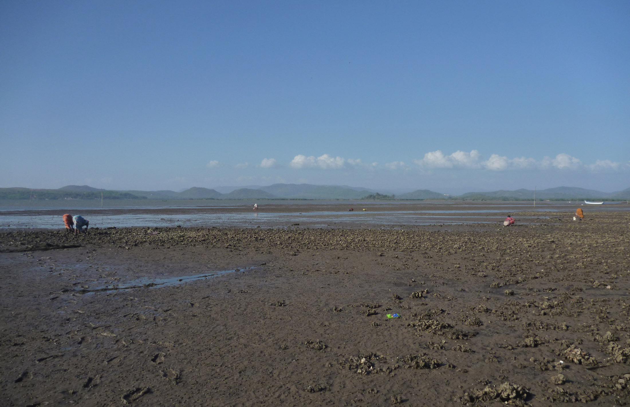
Still undammed, still alive — one of the last stretches of India’s west coast where that’s true.
Panchabhuta has worked this landscape since 2015 — the Aghanashini Estuary and Kagal village, Kumta taluk, Uttara Kannada. Basin and ecosystem mapping with Gubbi Labs, and a valuation exercise with UNISA Adelaide, made it one of the most closely studied stretches of coastline on the Karnataka coast — and one of the reasons Panchabhuta chose to work here rather than somewhere already lost.
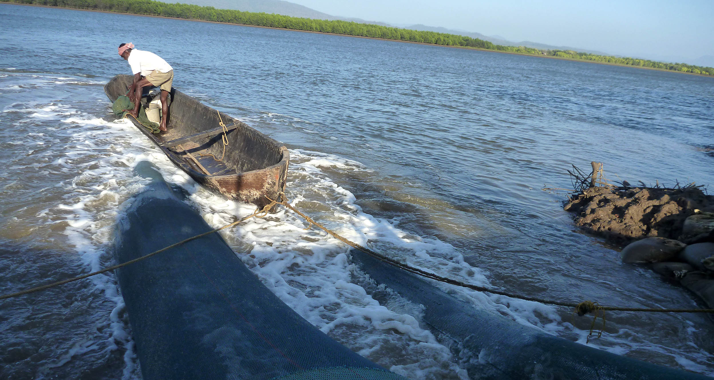
A gajni fish-trap being set on the estuary — the same fieldwork register the mapping and valuation above are built from.
03Field Landscape
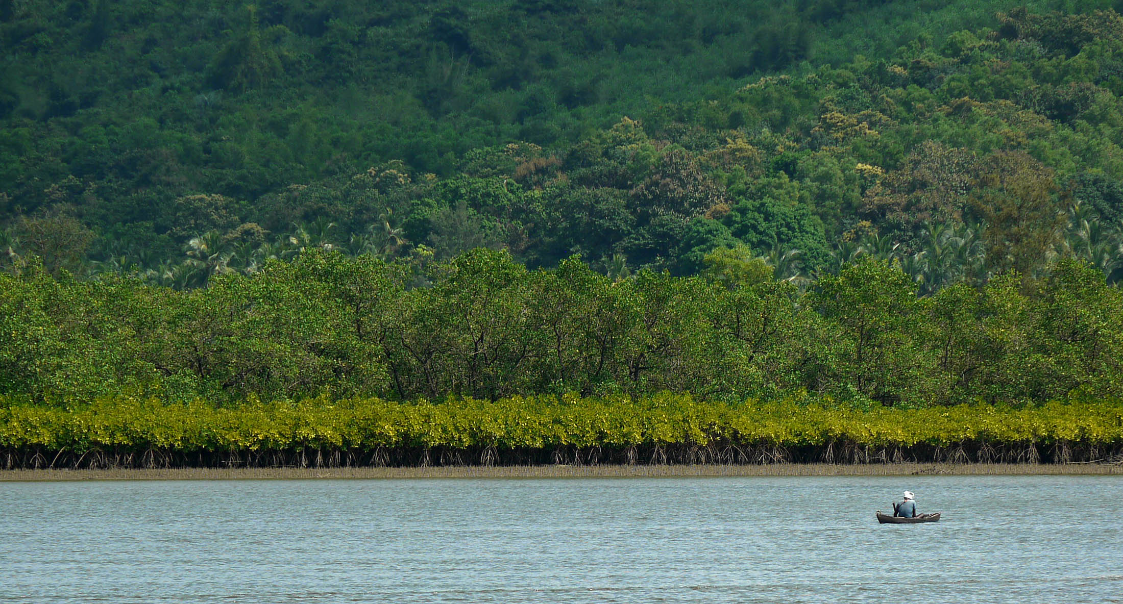
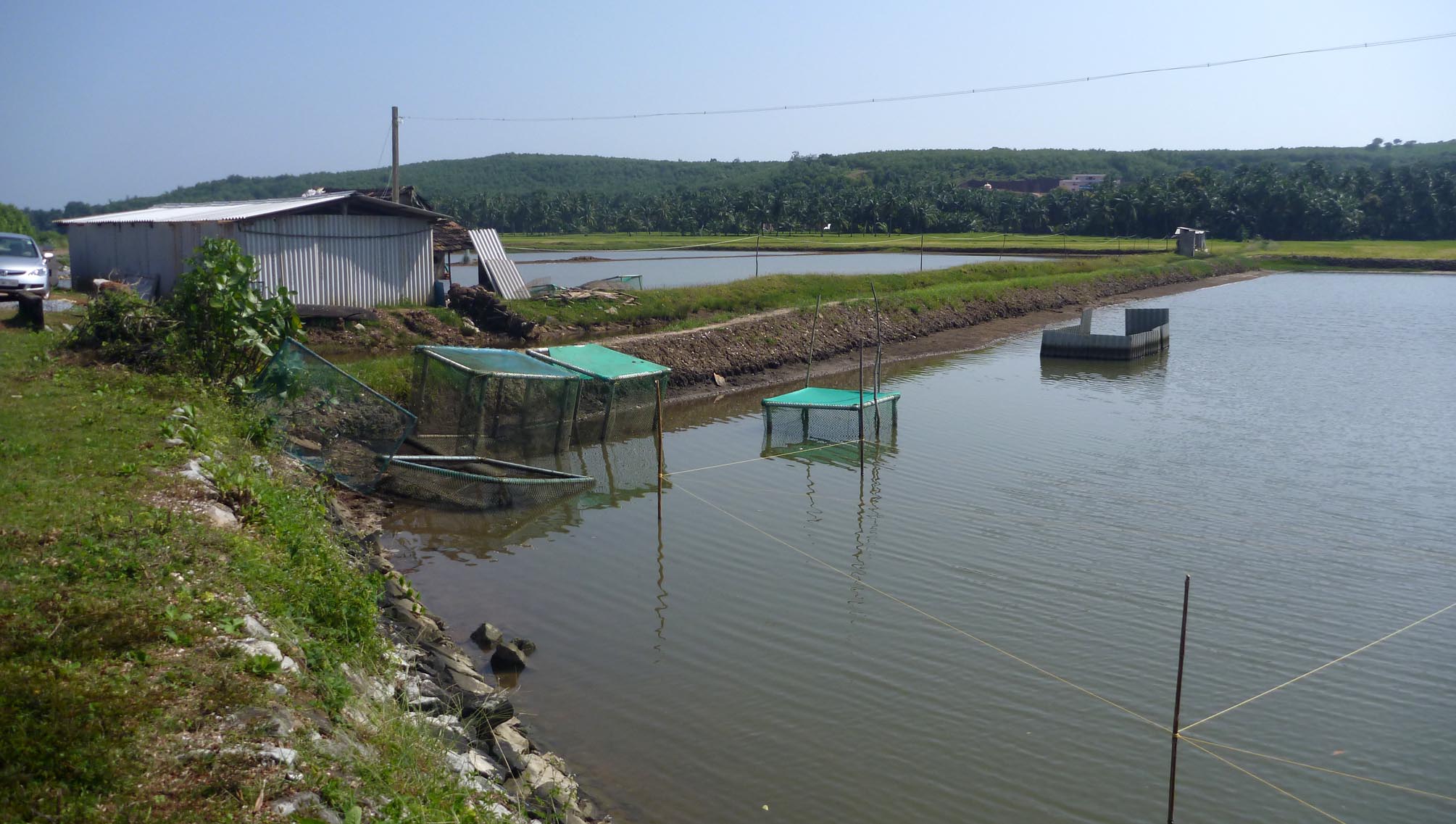
Three views of the same working landscape — a backwater crossing, a mangrove fishing line and an aquaculture pond built into the estuary’s own edge.
04Communities in Place
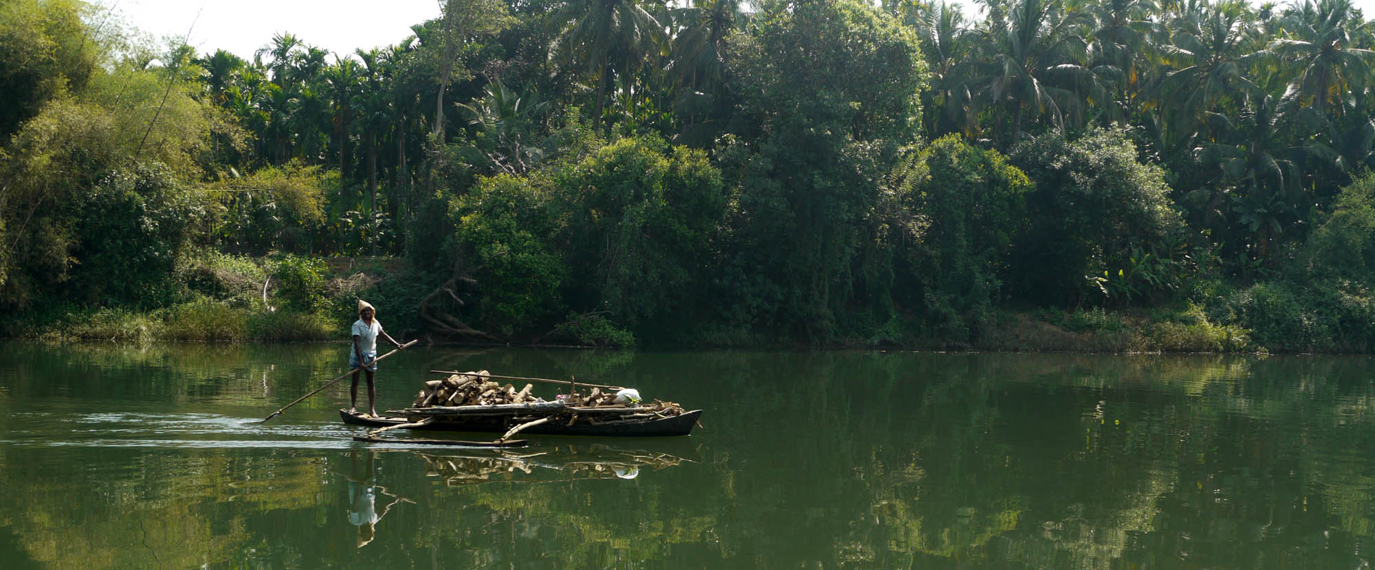
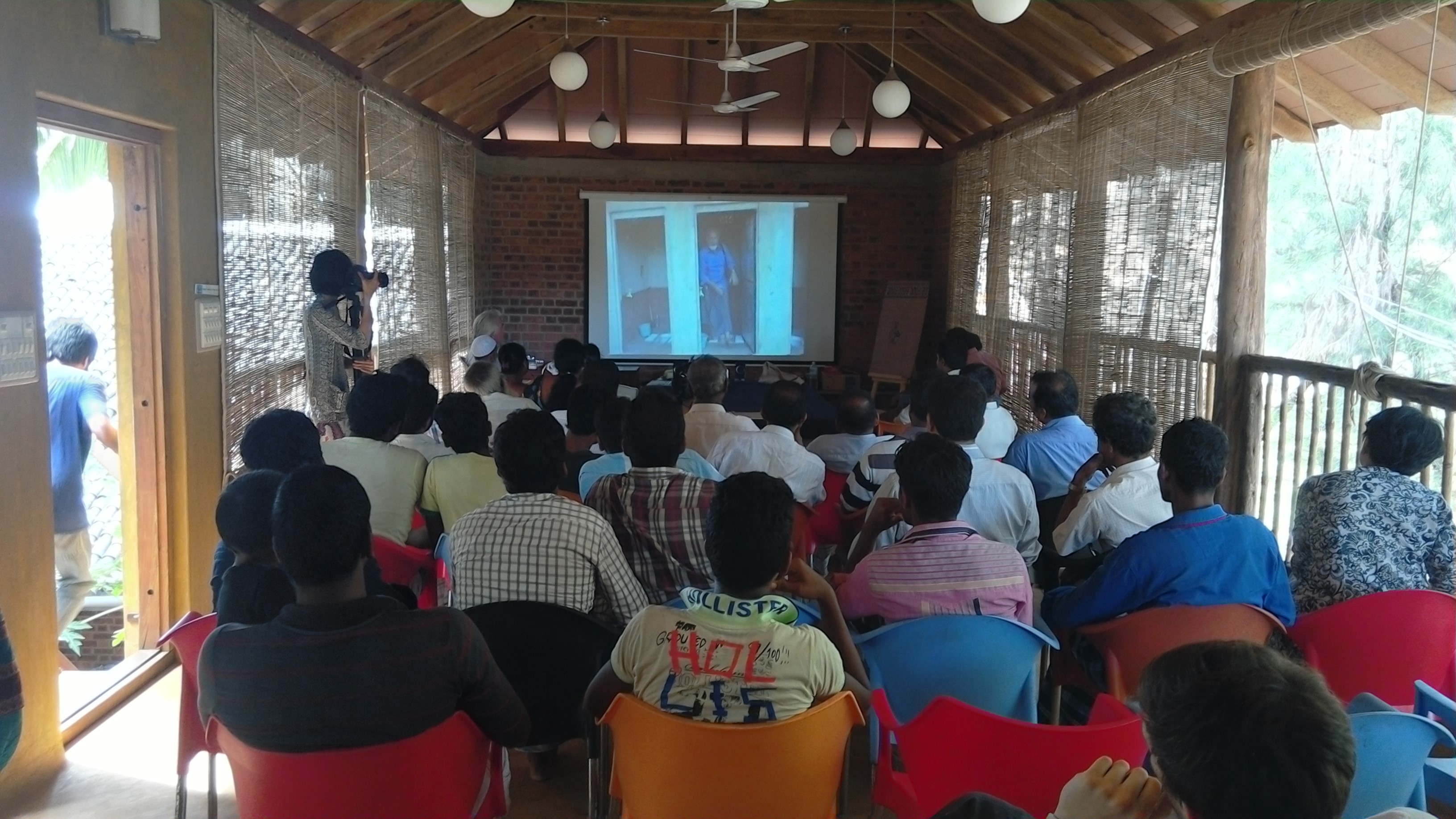
The landscape is inhabited, worked and understood before Panchabhuta ever studies it.
Fishing, aquaculture and medicinal-plant use around the estuary are the subject of Panchabhuta’s own socio-economic research, not a backdrop to it. Panchabhuta’s field station itself sits inside this same geography, at Birkodi, Nirvana Beach, Kagal.
05A Working Geography
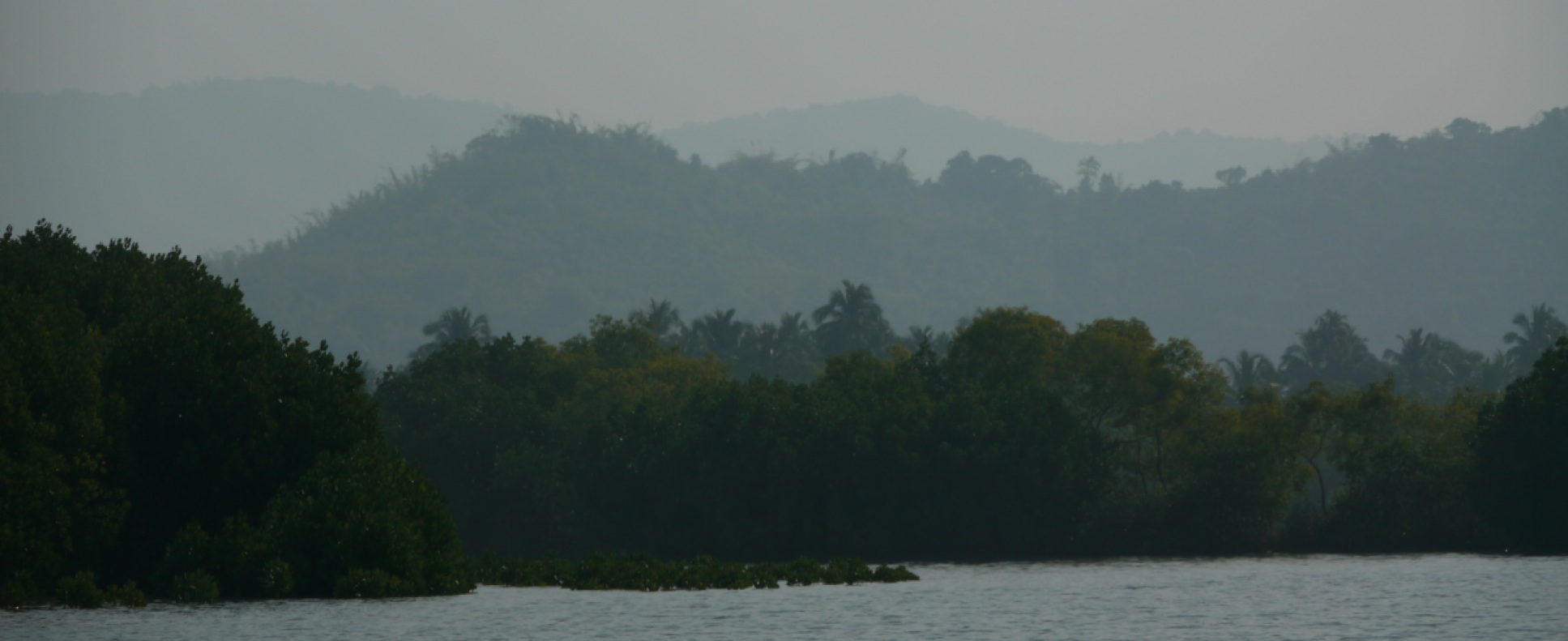
The estuary is where the work happens. The scope it sits inside widens from there.
Aghanashini Estuary
Kumta / Uttara Kannada
Coastal Karnataka
Western Ghats Interface
Research & Policy Networks
06Place as a System
Panchabhuta does not treat this landscape as a set of isolated environmental sites. Land, water, forest and estuary; communities, livelihoods, enterprise and knowledge — one connected system, not eight separate programmes.
Land + Water
The same edge farmland, forest and tideline share at the Aghanashini — nothing here sits apart from the water.
Forest + Estuary
Western Ghats rainfall feeds the same estuary the basin mapping with Gubbi Labs studies.
Communities + Livelihoods
Fishing, aquaculture and medicinal-plant use around Kagal — livelihoods drawn from the landscape, not layered onto it.
Enterprise + Knowledge
The 2016 homestay joint venture, built on the same field research everything else here rests on.
07Why This Place Matters
This is not incidental geography. It is where conservation, communities, enterprise, research and policy meet.
Panchabhuta’s method — landscape, then knowledge, then community, enterprise, policy and replication — only holds together because every link in it happens in the same place. Move the institution somewhere else, and it would be a different institution.
See How the Method Works08Field Evidence
The geography is not a backdrop for the institution. It is the basis for the observation, field research and experimentation that everything else on this site rests on.
Basin & Ecosystem Mapping
With Gubbi Labs — the research record behind every conservation claim this site makes about the estuary.
Ecosystem Services Valuation
With UNISA Adelaide, roughly US$297M a year — the basis for treating this landscape as economically, not just ecologically, significant.
Ingredient Research & Development
Kokum butter and other native botanicals, with Iris Kuhnlein — field research feeding directly into formulation.
Permaculture Design Certificate Courses
At the Organic Wealth Centre, Kagal — the field station doubling as a teaching site, not a research outpost alone.
09Beyond This Landscape
We work from this landscape — but the questions it raises travel much further.